5 Best Han River Bike Routes: Easy Rides with Amazing Seoul Views
The Han River is one of the easiest places to experience everyday Seoul. Its long, separated bike paths pass bridges, wetlands, skyline viewpoints and convenience-store picnic stops—with far less traffic stress than riding through central neighborhoods.
These five routes are designed for visitors, not long-distance cyclists chasing mileage. Each has a clear character and practical subway access. Distances are approximate because your rental station and detours will change the total.
Which Han River route should you choose?
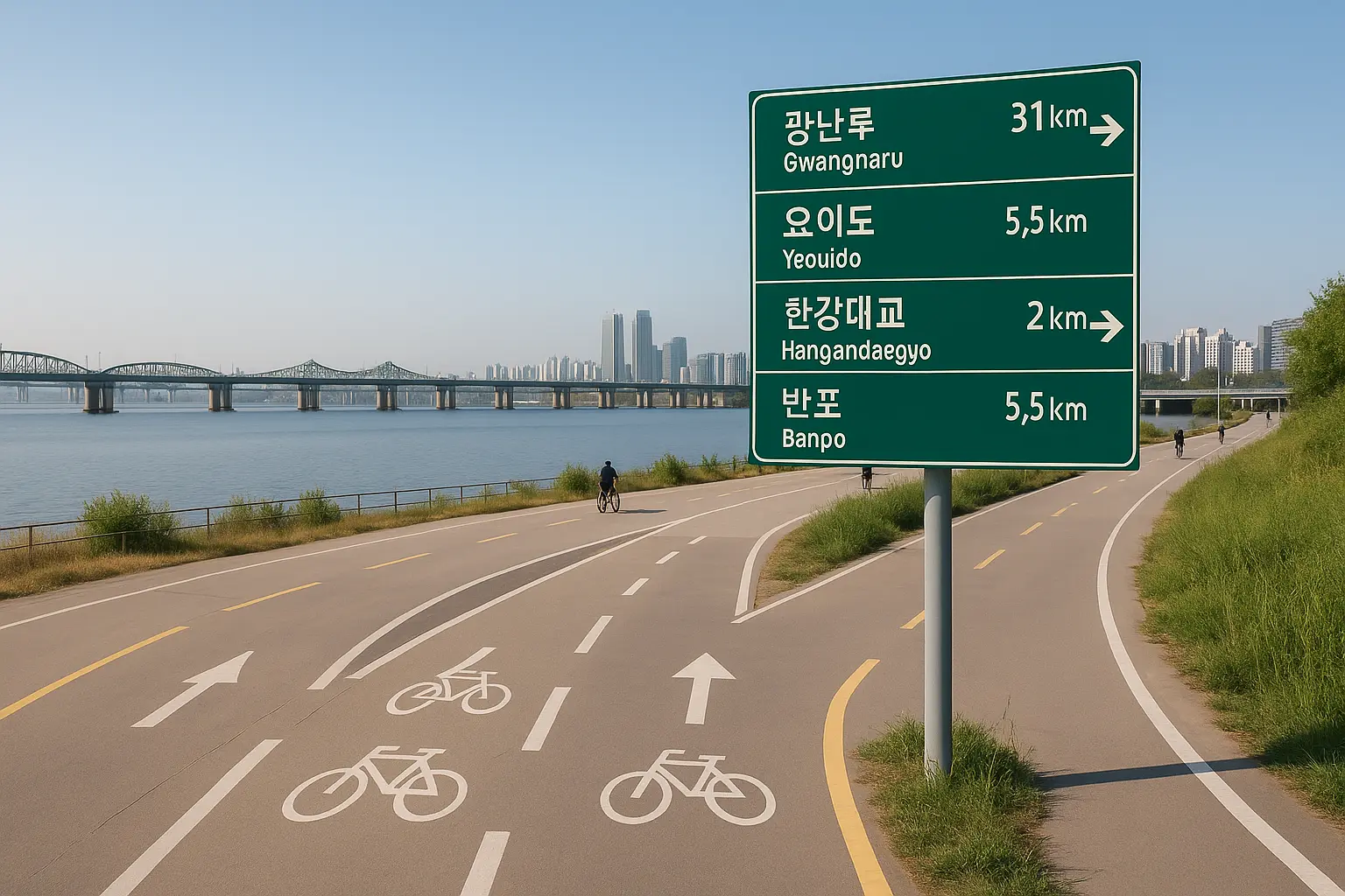
- Yeouido–Saetgang–Seonyudo: 9–12 km · Best for a first ride, shade and wetlands · One way
- Ttukseom–Banpo–Nodeul: 13–16 km · Best for landmark night views · One way
- Jamsil–Gwangnaru–Amsa: 10–14 km · Best for open paths and quieter scenery · One way or return
- Mangwon–Nanji–Haneul Park: 10–15 km · Best for sunset and local neighborhoods · Return or one way
- Seoul Forest–Ttukseom–Jamsil: 12–18 km · Best for parks and the eastern skyline · One way
🚲 First-timer pick: Yeouido–Saetgang–Seonyudo is the least intimidating. For a memorable evening, ride Ttukseom toward Banpo and finish around Nodeul Island.
Easy central and western routes
1. Yeouido–Saetgang–Seonyudo: easiest scenic introduction
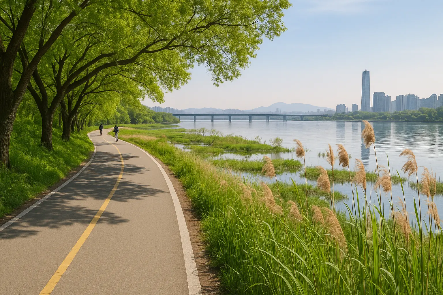
This route balances famous river scenery with the quieter wetlands of Saetgang Ecological Park. Start around Yeouido or Nodeul Station, follow marked bike paths around the southern side of Yeouido, then continue west toward Yanghwa Hangang Park and Seonyudo.
Seoul’s official bike-route guide describes a 9 km version from Nodeul Station to Seonyudo with more than 90 percent on bike lanes. It is largely flat, with convenient places to stop, but pedestrians and delivery bikes can appear near busy park areas.
Google Maps · Naver Map search
2. Ttukseom–Banpo–Nodeul: Seoul’s night-view ride
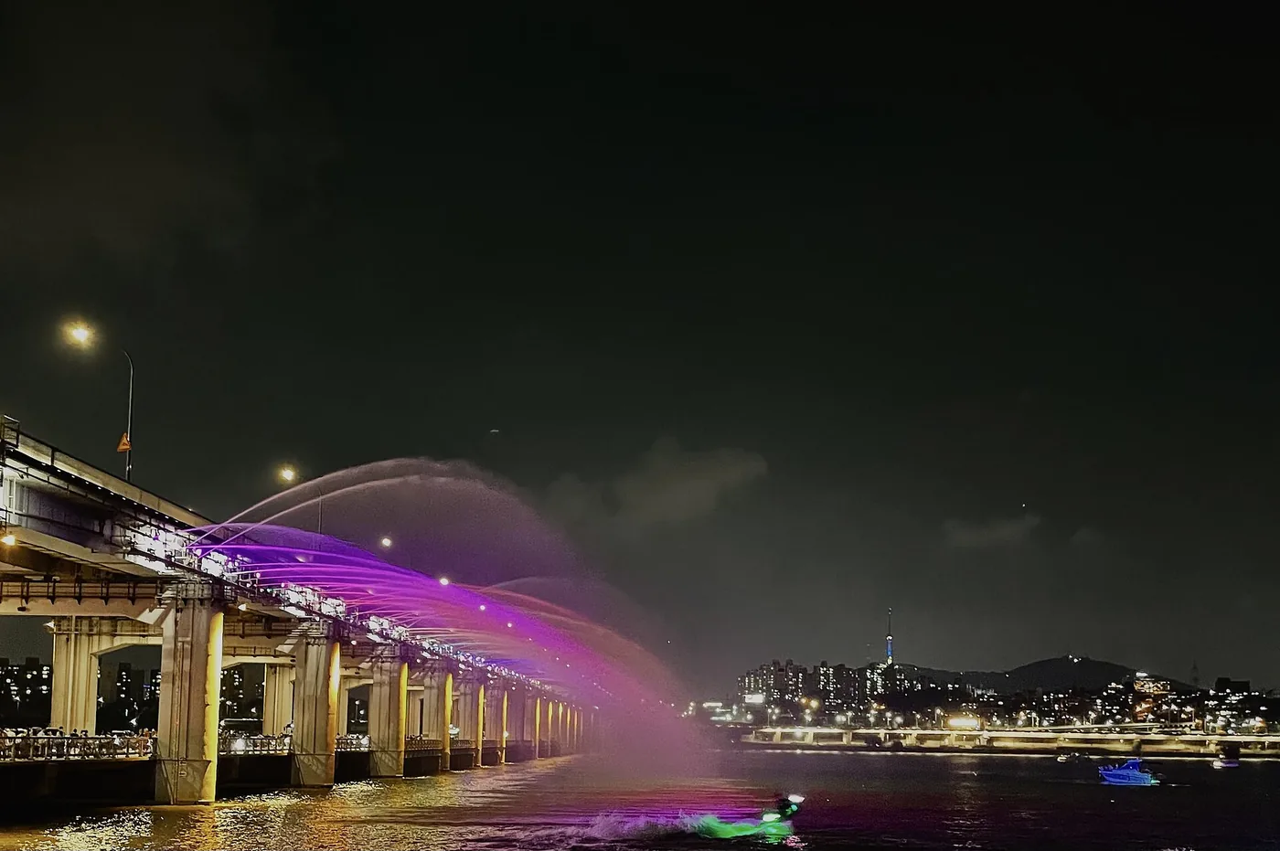
This is the cinematic choice. Start around Ttukseom Hangang Park, ride west past the changing north-bank skyline, cross or connect near Banpo, and finish around Nodeul Island. Seoul publishes a 13 km Ttareungi route beginning near Jayang Station and passing Dongho and Banpo bridges before Nodeul.
Time it for late afternoon so you see the city in daylight and after dark. Bridge crossings and construction detours can be confusing; keep Naver Map open and follow bicycle signs rather than improvising on vehicle ramps. Banpo’s fountain is seasonal and can be suspended for weather or maintenance, so treat it as a bonus rather than the sole reason for the ride.
Google Maps · Naver Map search
Eastern Seoul routes
3. Jamsil–Gwangnaru–Amsa: wide paths and eastern calm
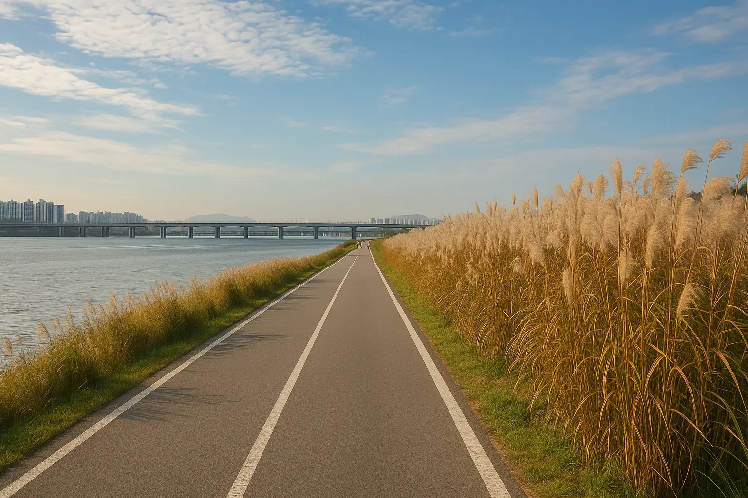
Head upstream from Jamsil toward Gwangnaru Hangang Park and Amsa for a less landmark-heavy, more spacious ride. Reeds, ecological areas and broad river views replace the dense central skyline. The route is a good fit for confident families and riders who value uninterrupted movement.
You can turn around whenever your energy dips or finish near a different subway station. Check the bike-station map first: the closest Ttareungi dock may not sit directly beside the trail entrance.
Google Maps · Naver Map search
🌬️ Local reality: A flat river route can feel surprisingly hard in a headwind. If the wind is strong, choose a one-way ride in the easier direction and return by subway after docking a public bike.
The best sunset ride
4. Mangwon–Nanji–Haneul Park: best sunset combination
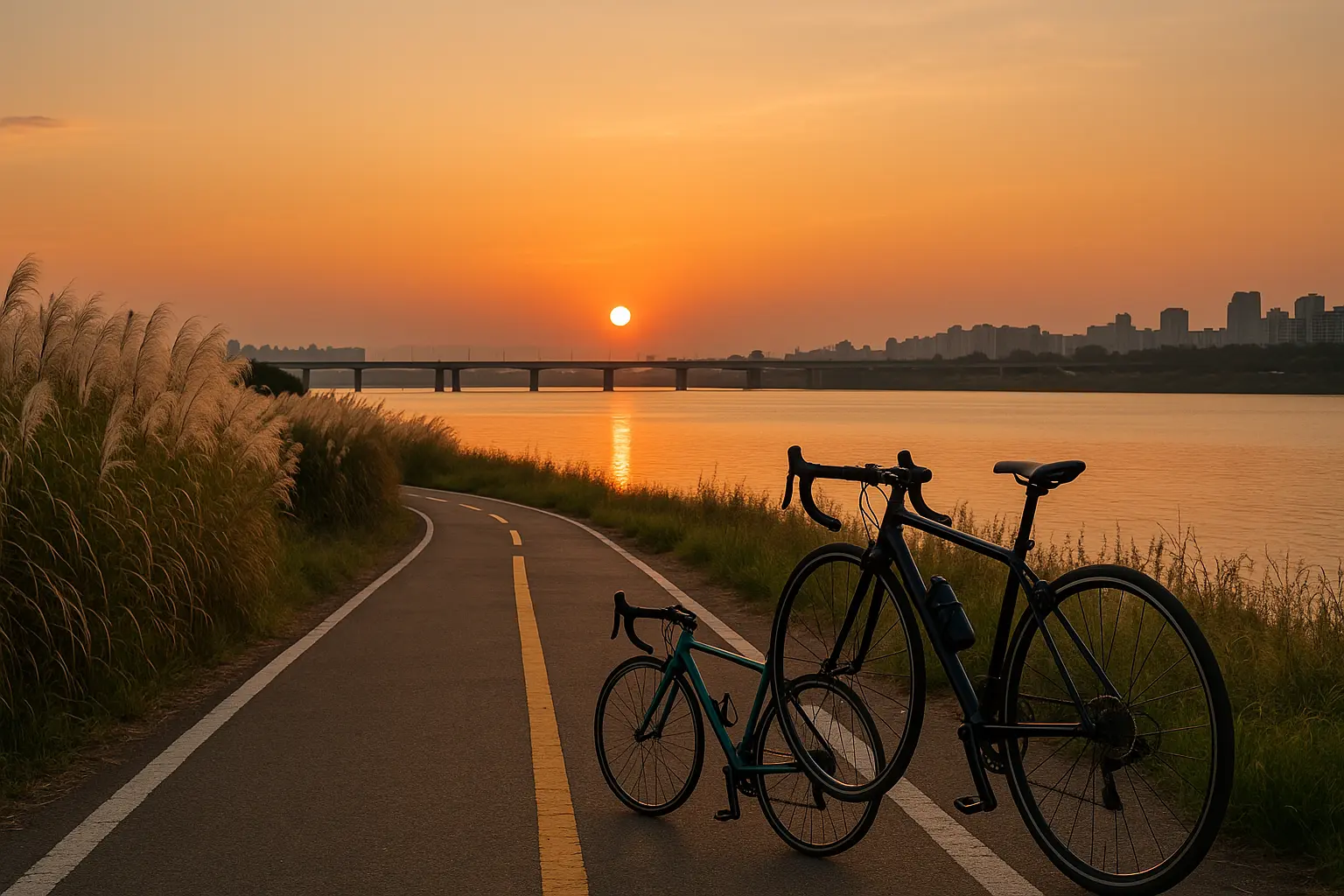
Begin around Mangwon Hangang Park, where neighborhood food and picnic culture make an easy pre-ride stop. Continue west toward Nanji Hangang Park and the World Cup Park area. The river feels wider and the horizon more open here, especially near sunset.
Haneul Park itself sits above the river and is better approached on foot after securely returning or parking your bicycle; steep approaches are not the fun part of this ride. This route is excellent in clear autumn weather, but exposed stretches provide limited shade in midsummer.
Google Maps · Naver Map search
5. Seoul Forest–Ttukseom–Jamsil: parks plus city skyline
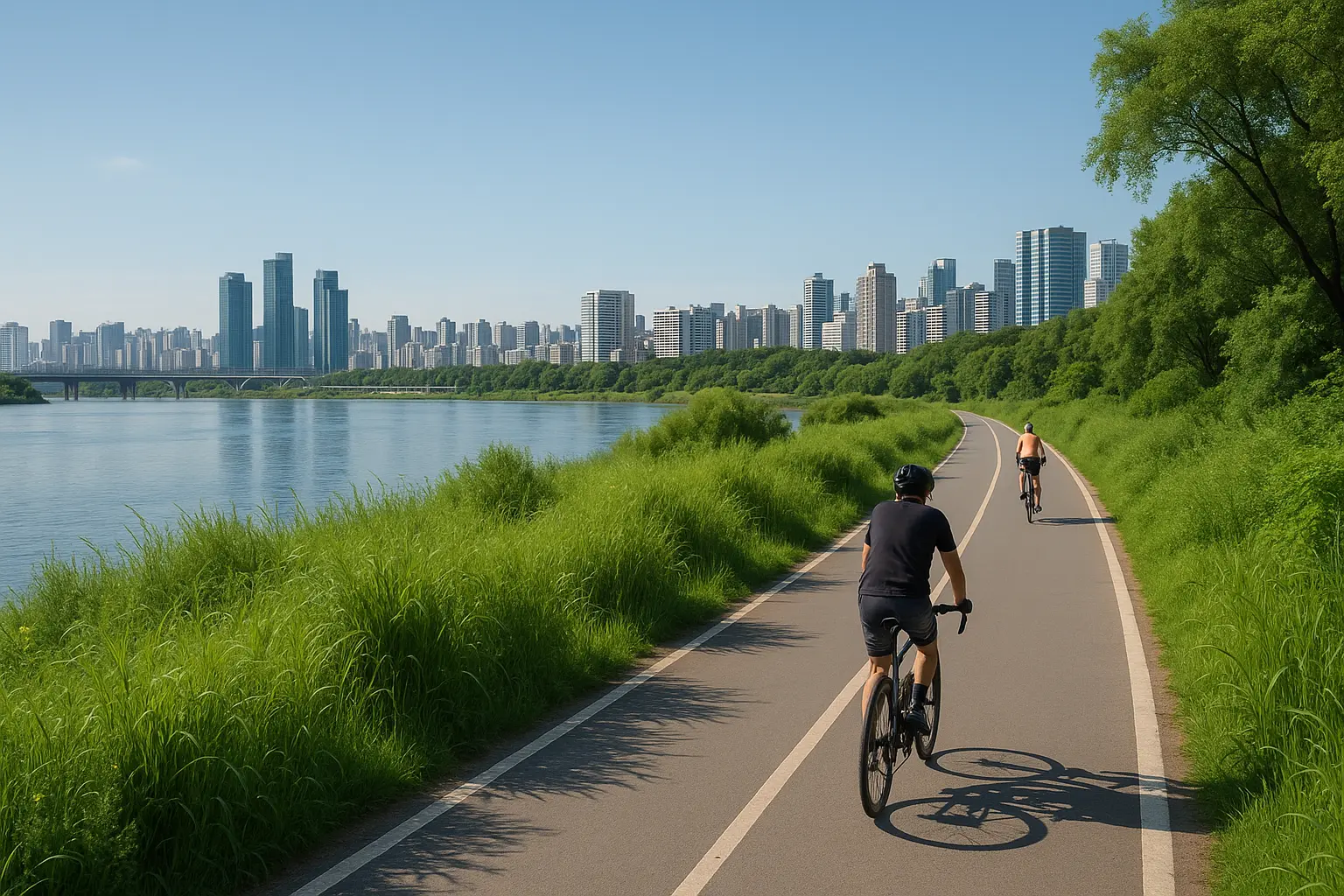
Combine two of eastern Seoul’s best green spaces by starting near Seoul Forest, connecting to the river, passing Ttukseom Hangang Park and continuing toward Jamsil. It offers frequent skyline changes, picnic lawns and plenty of options to shorten the ride.
The connection from city streets to the river is the part that requires attention. Dismount on crowded sidewalks, use designated crossings, and do not assume every path visible from the park has a bicycle-friendly entrance.
Google Maps · Naver Map search
Renting a bike: Ttareungi or a private shop?
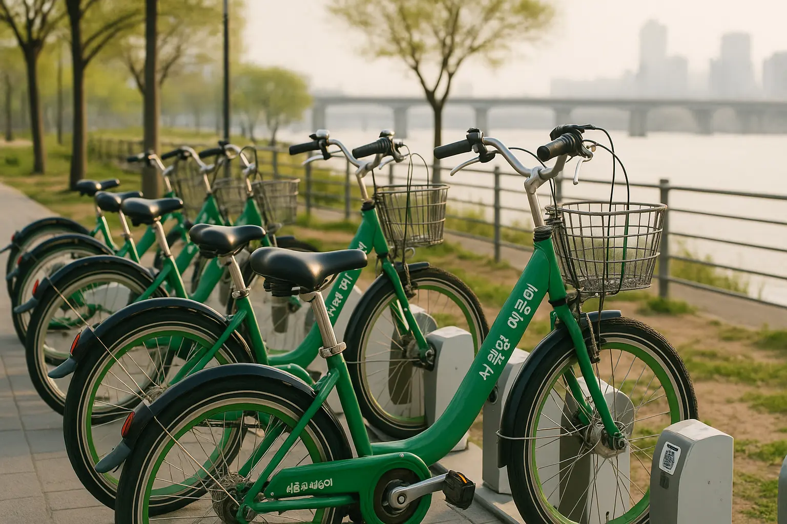
Seoul’s public bike, Ttareungi, is ideal for one-way rides because it can be returned at any available system station. The official instructions direct users to purchase through the Seoul Bike app, scan the bike QR code, and confirm the return on their phone. A three-hour pass was introduced in late 2025, but products, payment compatibility and app flows can change—check the official Seoul Bike guide before relying on it.
Private rental shops near popular parks may offer more sizes, child equipment or sportier bikes, but usually require returning to the same shop. Confirm identification, deposit and return-time requirements directly.
📱 Do not skip the return confirmation: Physically locking a Ttareungi is not enough if the app has not registered the return. Wait for the confirmation before walking away.
River cycling etiquette and safety
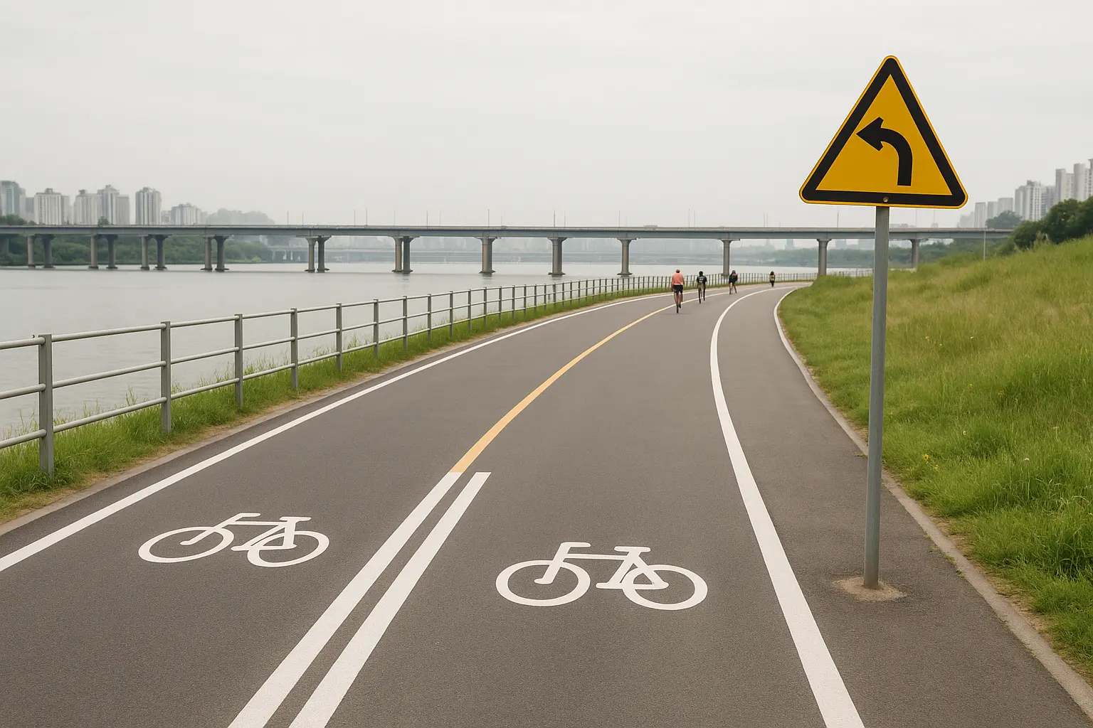
Ride on the right, pass on the left, signal before changing line and slow down near children, pets and food areas. Faster cyclists use these paths for training; hold a predictable line. A helmet is a sensible choice even for a short ride.
Avoid riding during heavy rain, extreme heat, poor visibility or flood controls. Keep away from submerged paths and obey closure barriers. At night, confirm that your lights work.
☀️ Summer tip: The river has long exposed sections. Early morning and the hour before sunset are far more comfortable than mid-afternoon; bring water even when convenience stores are shown on the map.
Who should skip a Han River bike ride?
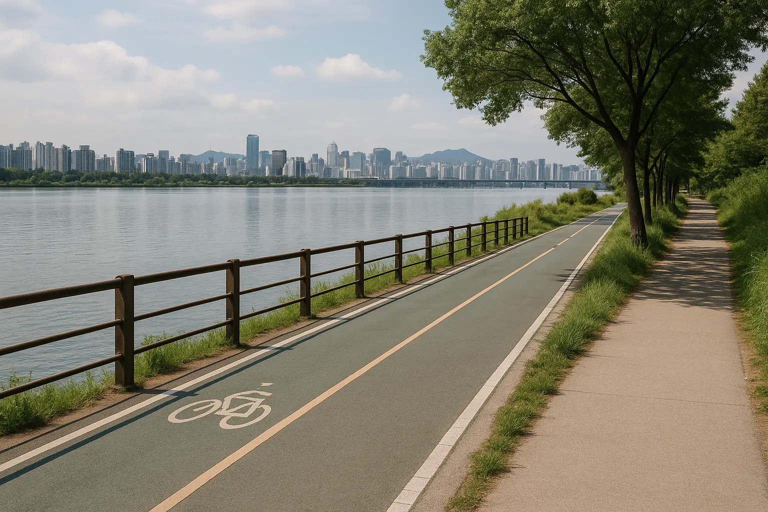
Skip it if you cannot confidently start, stop and hold a straight line around other riders. Young children and very nervous beginners are better in a controlled bicycle park or on a short, quiet section than on a popular evening route. On wet or windy days, take a riverside walk instead.
✅ Verification note: Routes, public-bike instructions and cited city guidance were last checked in August 2026. Dock availability, closures, construction and seasonal programs can change on the day; confirm them in the official app and on local signs.
Photo credits
- Hero — Cookinu, Wikimedia Commons, CC BY-SA 4.0; resized and converted to WebP.
- Cyclist passing Banpo Bridge lights beside the Han River — Cookinu, Wikimedia Commons, CC BY-SA 4.0; resized and converted to WebP.
